
It’s larger than New York State and contains more than 30 billion tonnes of carbon – equivalent to 3 years of global fossil fuel emissions
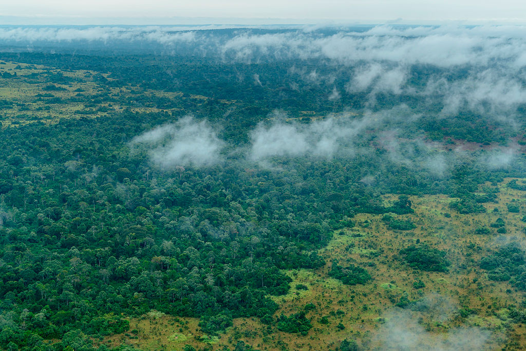
In the heart of the Congo Basin lies the Cuvette Centrale, a vast wetland landscape of swamp forests, rivers, seasonally flooded grasslands and peatlands spanning parts of the Democratic Republic of the Congo (DRC) and the Republic of the Congo.
One of the world’s most important ecosystems for storing carbon, this remote region remains relatively unexplored with limited infrastructure.
What is the Cuvette Centrale?
The name Cuvette Centrale means ‘central depression’, referring to the broad, low-lying basin of wetlands in the centre of the Congo Basin. The Congo River and its tributaries drain this enormous region, creating extensive areas of permanently or seasonally waterlogged forest. The discovery that much of this swamp forest sits on deep peat transformed scientists’ understanding of the area.
Research published in Nature in 2017 estimated that the peatlands covered around 145,500 sq km, making it the largest tropical peatland complex in the world. More recent mapping in 2023 found that the peatland area was even larger at around 167,600 sq km, although the exact scale of the peatlands continues to be investigated.
For comparison, New York state has a total area of 141,297 sq km.
Why is peat important?
This extraordinary wetland has global importance, with scientists estimating that the Cuvette Centrale’s peatlands contain around 30 billion tonnes of carbon, making it one of the most carbon-rich ecosystems on Earth and a huge carbon sink.
One of the researchers, Simon Lewis from the University of Leeds, UK, said “These peatlands hold nearly 30 per cent of the world’s tropical peatland carbon, that’s about 20 years of the fossil fuel emissions of the United States of America.”
The research also indicated that the Congo Basin peatlands store the equivalent of three years of the world’s total fossil fuel emissions.
Peat forms when dead plants and other organic material accumulate in waterlogged conditions faster than they can decompose. Over thousands of years, this creates layers of carbon-rich soil beneath the vegetation.
Initial research suggested that large-scale accumulation began around 10,600 years ago, following the beginning of the Holocene, although more recent research indicates that peat formation at some locations may have begun considerably earlier.
The waterlogged conditions are crucial to containing the carbon emissions – if the peat remains saturated, decomposition is slowed and the carbon remains locked underground. However, if the peatlands are drained or significantly disturbed, stored carbon can become vulnerable to decomposition and release, causing a release of carbon which could accelerate global climate change.
- What exactly is peat – and why is it so important?
- The Great Barrier Reef, Machu Picchu – and a Scottish bog. Unearth the latest (and surprising) UNESCO World Heritage Site
The landscape of the Cuvette Centrale
The Cuvette Centrale is not one enormous, uniform swamp, but a complex mosaic of habitats, including swamp forest, rivers, lakes, pools, seasonally flooded areas and relatively dry forest on higher ground. The Congo Basin itself is the world‘s second-largest river basin, covering approximately 3.7 million sq km.
Within it, the Cuvette Centrale forms a particularly low-lying area where water remains an important influence on the landscape throughout the year. The peatlands are largely rain-fed in their western areas, where they can form shallow peat domes.
Wildlife in the Congo Basin
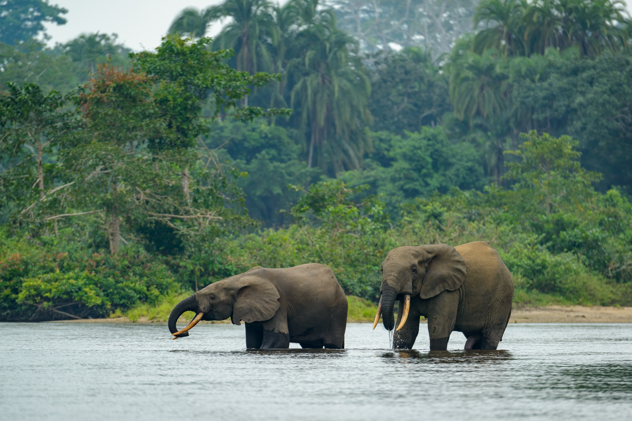
The Cuvette Centrale sits within one of Africa’s most biologically important regions. The wider Congo Basin contains exceptionally diverse tropical forests and is home to forest elephants, gorillas, chimpanzees, bonobos and numerous species of birds, reptiles, amphibians, fish and insects.
Wetland habitats add another important dimension. Rivers, flooded forests and peatland pools provide habitat for fish and other aquatic species, while the surrounding forests support terrestrial wildlife. Rural local communities have lived throughout the region for generations, farming, growing and working on the waterways.
Wetlands ecosystems
Research involving communities in the central Congo peatlands found that households depend heavily on the peat swamp forest for fishing, alongside activities including collecting wild foods, timber, vines and medicinal plants and hunting.
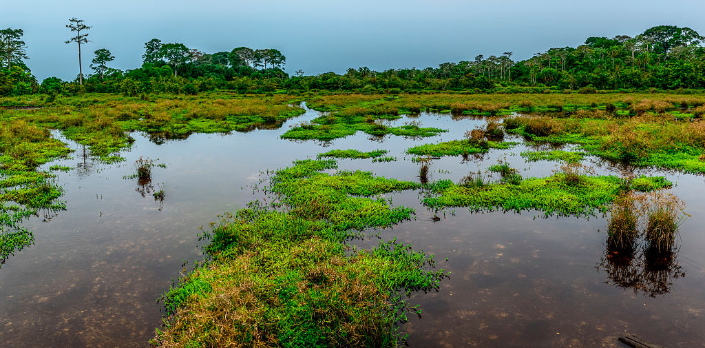
The wetlands also provide materials used for houses, tools, baskets, fishing equipment and other everyday needs. Livelihoods can change with the seasons because flooding affects where people can travel and fish.
Conservation and threats to the Cuvette Centrale
The scale of the Cuvette Centrale’s peatlands means that protecting them has significance well beyond Central Africa. Drainage, deforestation and other forms of land-use change could expose peat to oxygen and accelerate decomposition. Researchers have identified potential pressures, including logging, agricultural development, oil and gas exploration and infrastructure development, while climate change may also alter rainfall and the water balance that keeps the peat saturated.
Conservation efforts include protected areas and internationally recognised wetlands. The UN’s Becoming #GenerationRestoration: Ecosystem Restoration for People, Nature and Climate report outlines the global importance of conserving these critical areas. In 2017, the Republic of the Congo and DRC agreed to collaborate on a 129,000 sq km transboundary Ramsar site complex, incorporating wetlands around Lake Télé, the Congo River’s major tributaries and Lake Tumba. In 2018, both countries and Indonesia also signed the Brazzaville Declaration agreement to conserve the world’s major tropical peatlands and prevent their drainage and degradation.
More wildlife stories:
- This mysterious 8000km 'wall' stretches across Africa – but it isn't what most people think…
- Struggling in the heat? Meet the animals that can survive the hottest temperatures on Earth – even a sweltering 149 degrees celsius
- The ‘world’s smallest desert’ covers just 1 square mile, is in Canada and was carved out by ancient glaciers – but it’s not actually a desert


